
| Manchester, MA to Gloucester, MA see map and photos of trip |
|||||
| Date | July 8, 2000 | Time | 0915 to 1445 | Trip Length | 16 nm |
| Weather | Sunny, clear skies, 75F. Wind NE 10-15 knots. Seas 1-3 ft. early, 2-4 ft. late. | Tides | H 0516 L 1129 H 1754 |
||
| Launch Site | Manchester Town Ramp behind Town Hall, just off MA127 (beware of tickets, as spots are labelled 2 hr. parking; I lucked out) [ ONLINE CHART FROM MAPTECH ] [ DRIVING DIRECTIONS TO LAUNCH ] |
Landing Site(s) | ·Stage Head Beach, Gloucester |
||
| Route [ SEE MAP ] |
Pass under MBTA bascule bridge; paddle SW out of Manchester Harbor; round Gales Point; paddle NE along coast past Magnolia Harbor; remain along W shore of Gloucester Harbor; land for lunch at Stage Head Beach, which is technically off-limits to kayaks; cross harbor channel E to Ten Pound Light on Ten Pound Island (use caution: Gloucester Harbor is very busy on summer weekends); paddle S to Eastern Point Light; cross harbor channel W at end of jetty (use caution); paddle SW along coast past Magnolia Harbor to return | ||||
| Trip Description [ SEE PHOTOS OR |
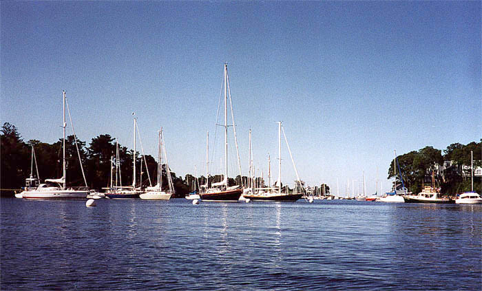
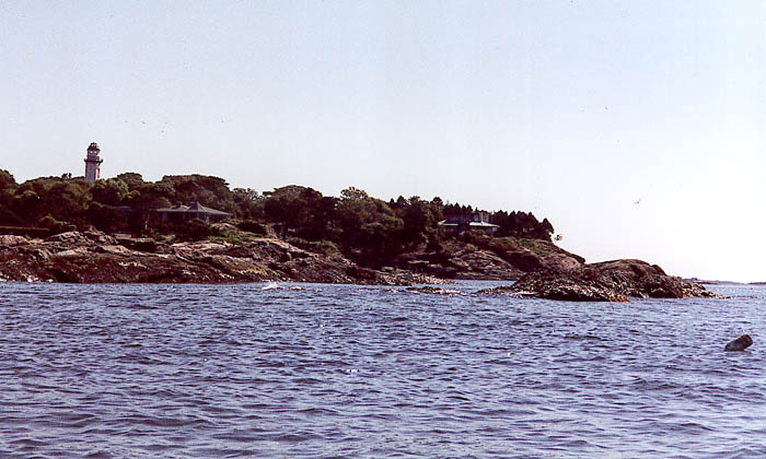
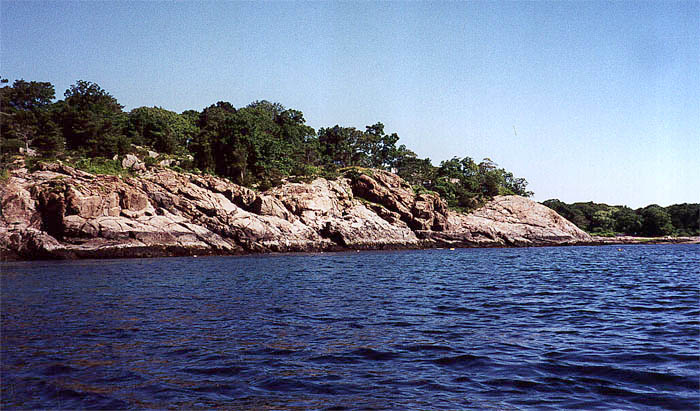
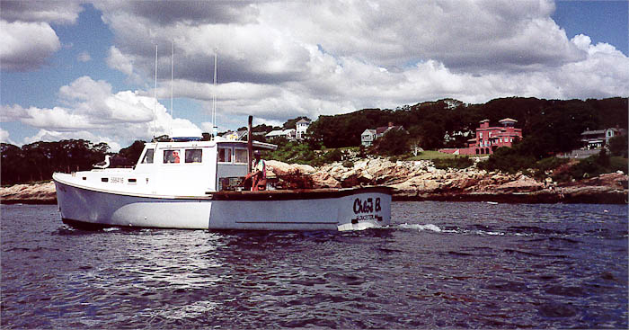
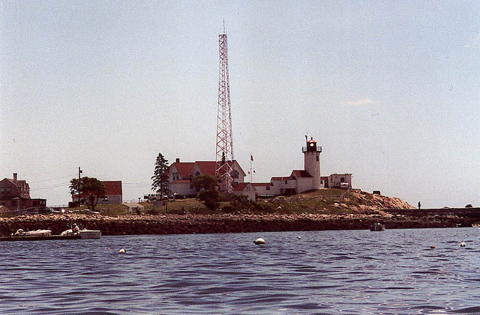
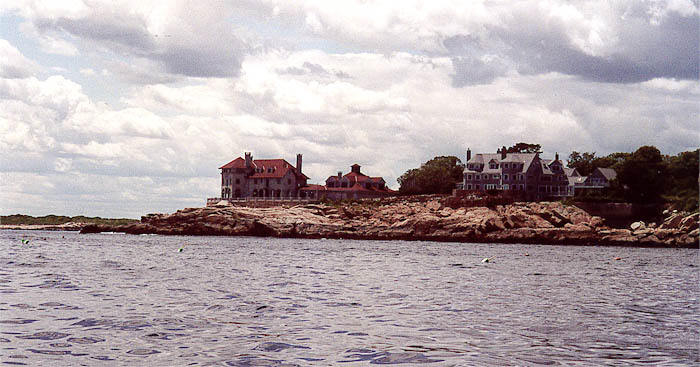
Favorable weather, especially the N/NE wind, made for smooth paddling almost all day. I needed to pick up a navigational chart before heading out, so I found First Light Anglers on Ashland Street and picked up a Maptech waterproof chart covering Boston Harbor to York, Maine. The salesman let me in on the great put-in spot behind the town hall on Rt. 127. I mounted my compass and map case, and was in the water by 9:15. I weaved around the moored boats in Manchester Harbor, racing the powerboats as they begrudgingly observed the harbor speed limit. I paddled hesitantly between Ram Island and Gales Point on the southern point of the harbor, and broke out into the open ocean. What a day to be on the water: clear, blue, almost cloudless sky; calm water; little wind, at least right along the coast; and early in the morning, one has the ocean almost to oneself. After absorbing a view containing bluffs along the shore and an observation tower on the peninsula I continued on past a vacant Singing Beach and the Crow Island Rock to Goldsmith Point, where some flounder fisherman greeted me. A great cormorant flirted with my boat from a measly 15 feet away, then fled abruptly. I passed across the mouth of Magnolia Harbor and around Magnolia Point and was greeted by the uplifting view of the Eastern Point lighthouse guarding the Gloucester Harbor entrance. I used Norman's Woe Rock (immortalized by Longfellow) as a foreground addition to my photo of the Hammond Castle museum and spoke to a lobster fisherman setting traps who then became a photo subject. Passing the round tower I paddled into the Stage Head beach for lunch. After being chastised for having my kayak on the beach, the lifeguard helped me move it out of the way so I could eat lunch, visit the restroom, and be on my way. I headed straight across the channel to Ten Pound light (after fighting off the wakes of some large whale-watching vessels--please be careful in Gloucester Harbor) for a photo op, then made a beeline for Eastern Point light. I followed the jetty out to the channel, sped across during a traffic-free moment, and made my way back toward Manchester. By this time I was tired and rather seasick, but the water and shore were so beautiful that I almost forgot my woes. I wearily paddled by Singing Beach to find a good swimming spot (which I enjoyed during some post-paddle relaxation with my girlfriend) and again navigated the Ram Island passage, which had become a bit rough as the wind picked up a bit. Exiting my boat at the end, I knew the day had been absolutely amazing, though extremely physically taxing. This is a spot to return to, especially for a trip to the Misery Islands and Bakers Island. | ||||


You are visitor number
© 2000 Daniel E. Smith. Last updated 8-13-00